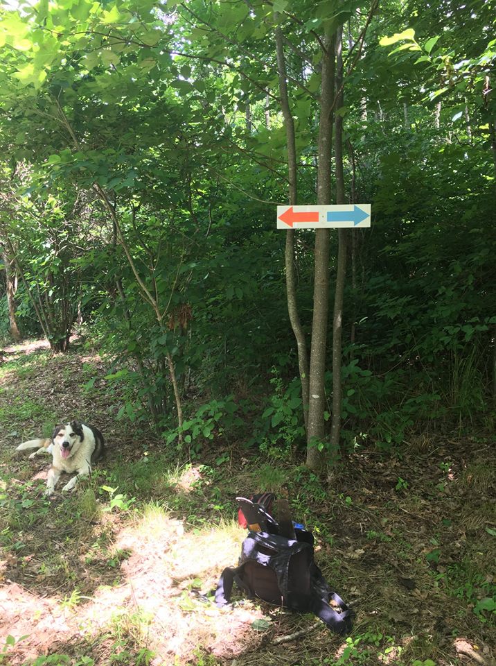
Hello Bailey Mtn friends,
New arrow signage and more trail markers are going up on the current trail system in the Park. From the parking lot, allow 1.5hrs for the Blue trail to get to the summit, which is the most moderate option to ascend. The Orange trail is shorter by about 30min, but steeper. The Black trail is an option as well; it branches off the Blue trail about half way up, but it has a .25mile VERY steep section before ascending on Connor Ridge.
All trails are currently fairly clear and easy to follow. Help us keep them that way with foot traffic via a nice hike, it's a win-win! Don't forget to please respect the right of way on private property from the parking lot to the Park land entrance by staying on the trail.
Link to driving directions to trail head here: http://baileymountainpark.org/
Bailey Mountain Park on Facebook here: https://www.facebook.com/baileymtnpark/
